
by Sarah Bender
Join the Carnegie Mellon University Libraries Geographic Information Systems (GIS) Services team on Friday, Nov. 13, for "GIS Day 2026: GIS for All." For the fifth year in a row, the Libraries will welcome members of CMU and the wider Pittsburgh community to a daylong symposium dedicated to exploring GIS resources, sharing research and making connections. This year's theme, "GIS for All," highlights the importance of making maps and geographic information accessible and understandable to a wide range of audiences.
GIS refers to computer-based tools used to store, visualize, analyze and interpret geographic data. From studying environmental challenges and improving transportation systems to exploring historical landscapes, GIS helps researchers and practitioners uncover patterns, answer questions and communicate information in new ways. Typically celebrated on the third Wednesday of November — the Libraries gets a head start on the festivities — GIS Day is an international forum for users of GIS technology to demonstrate real-world applications that are making a difference in society, and for people to learn more about GIS and its benefits.
"The Libraries' GIS Services Team works behind the scenes to support GIS education on campus and connect our campus to partners across the region," said event chair Jessica Benner, CMU's GIS and Spatial Data Librarian. "Maps have always been essential visualizations, but now with GIS analysis capabilities and wider access to open datasets, answers to spatial questions have never been more attainable."
The symposium returns to the Rangos Ballroom in the Cohon University Center, with registration beginning at 8:15 a.m. The morning program will feature talks, a roundtable discussion and a panel, followed by lunch sponsored by CMU's Sustainability Initiative.
This year's programming will also touch on digital accessibility, an increasingly important consideration for organizations sharing geographic information with the public. A representative from the Pennsylvania Geospatial Coordinating Board will discuss topics including accessibility, as public agencies work to address requirements under Title II of the Americans with Disabilities Act.
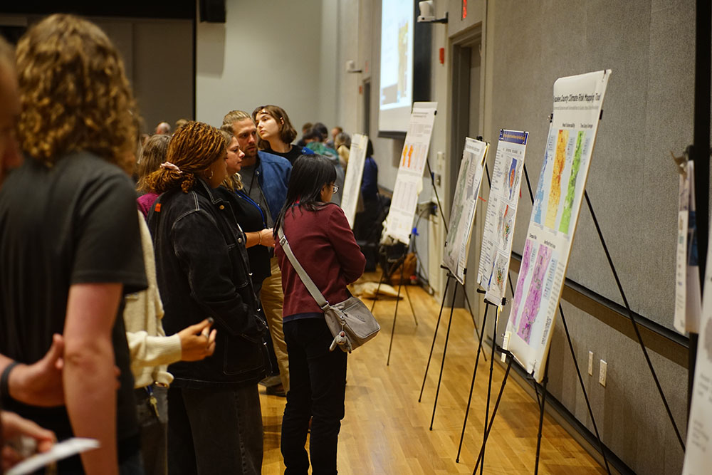
In the afternoon, attendees can explore an open house and gallery featuring maps, research posters and demonstrations showcasing the many ways GIS is being used across disciplines. Projects may touch on topics ranging from environmental and social justice to transportation, historical mapping, artificial intelligence and other emerging applications of spatial technology.
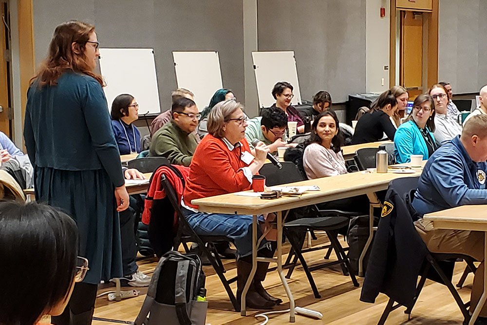
“GIS Day gathers practitioners and scholars from across the region to learn from one another,” said Arts and Humanities Librarian Lynn Kawaratani, who helps organize the event. “It is a particularly great opportunity for students to share their map creations and research to a broad audience of experts or simply join in the discussions and network with the GIS community.”
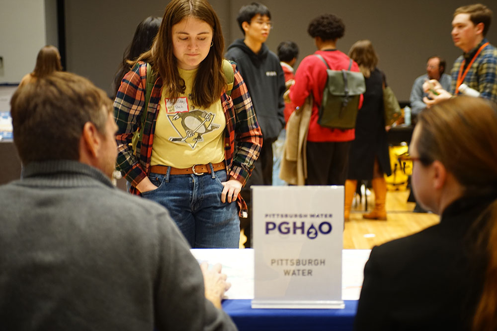
Beyond the presentations and demonstrations, GIS Day provides an opportunity for collaboration among universities, public agencies and private organizations. The organizing committee includes representatives from CMU, the University of Pittsburgh, Chatham University, Allegheny County, the City of Pittsburgh, Pittsburgh Regional Transit, the Western Pennsylvania Regional Data Center and Esri.
These partnerships reflect how GIS can serve as a shared tool for organizations working in different sectors, helping them exchange knowledge, identify common challenges and develop approaches informed by geographic data.
"GIS serves as a common framework and language for answering the fundamental questions of Who, What, Where, When, and Why, enabling organizations to better understand challenges, identify opportunities, and make informed decisions," explained Adam Kidane, GIS program manager in CMU's Enterprise Space Information Management office.
The day will conclude with "Mappy Hour" from 4:00 to 6:00 p.m., giving participants additional time to connect and continue conversations sparked throughout the symposium. The informal gathering also offers a valuable networking opportunity for students to meet researchers, industry professionals and potential employers, learn about career paths in GIS and build connections beyond the classroom.
"GIS Day 2026: GIS for All" is an in-person event open to all, from those exploring GIS for the first time to experienced researchers and professionals. Register to attend.